Ashfall from Mayon Volcano has blanketed at least 8,544 hectares of land in Albay, an area roughly equivalent to half the size of Quezon City, according to the Philippine Space Agency.
In a report released on May 4, PhilSA said the extent of the ashfall was determined through satellite imagery that captured the spread of volcanic material following recent activity at Mayon.
“For comparison, this area is around half the size of Quezon City,” the agency said, highlighting the scale of ash deposits across affected communities.
PhilSA explained that the ashfall mapping was based on satellite images taken before and after the volcanic activity, specifically comparing data gathered on April 28 and May 4. By analyzing visible changes on the ground, experts were able to identify areas affected by ash deposits.
The agency added that the full extent of the ashfall was estimated by projecting data from visible zones into areas obscured by cloud cover, allowing for a more comprehensive assessment.
“These results are consistent with projections from atmospheric trajectory modeling and reports from the ground. The map is still subject to ground validation,” PhilSA noted, emphasizing that field verification remains necessary to confirm satellite-based findings.
State volcanologists earlier reported minor strombolian activity at Mayon Volcano beginning May 1. Activity at the summit crater generated ash plumes that rose about 100 meters before drifting west-southwest.
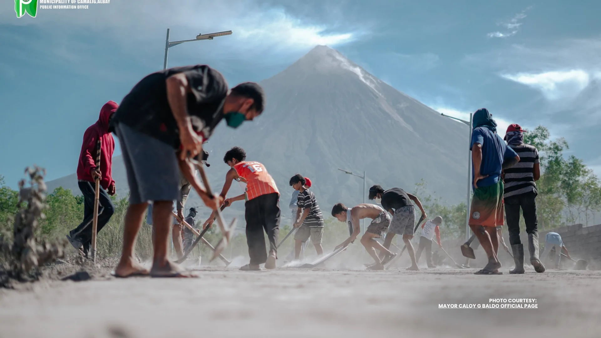
Meanwhile, the Office of Civil Defense said the ashfall has affected at least 52 barangays across the municipalities of Camalig and Guinobatan, as well as Legazpi City.
Authorities continue to closely monitor the situation as Mayon remains one of the country’s most active volcanoes. Residents in affected areas have been advised to take precautions against ashfall, including limiting outdoor exposure and using protective gear when necessary.