A low-pressure area inside the Philippine Area of Responsibility may develop into a tropical cyclone by Wednesday, according to the Philippine Atmospheric, Geophysical and Astronomical Services Administration.
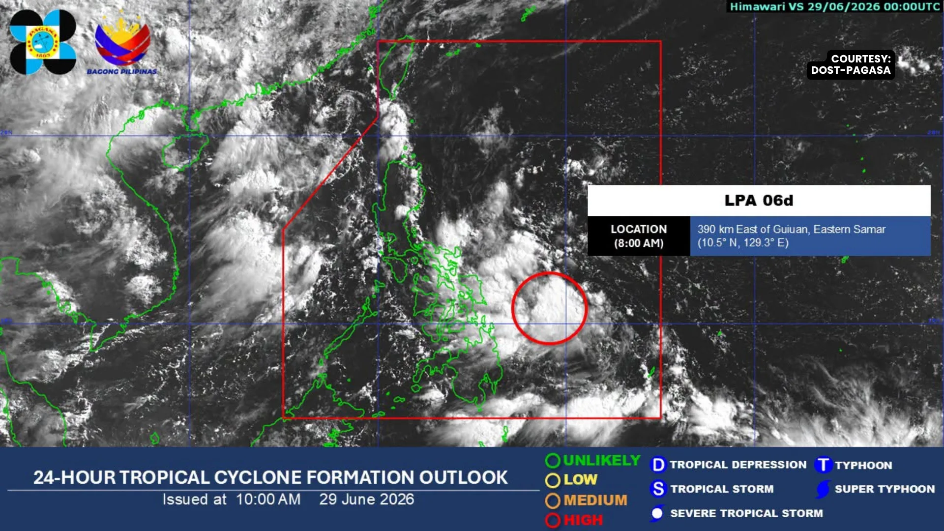
PAGASA said the LPA was last spotted about 495 kilometers east of Surigao City, Surigao del Norte.
The weather disturbance is expected to move across Southern Luzon and the Visayas on Tuesday before emerging over the West Philippine Sea by Wednesday.
PAGASA weather specialist Aldczar Aurelio said the LPA has a high chance of intensifying into a tropical cyclone once it reaches the West Philippine Sea.
If it develops into a tropical cyclone, it will be given the local name Henry and become the eighth tropical cyclone to enter the country this year.
Meanwhile, PAGASA said the southwest monsoon, or habagat, is gradually weakening and moving away from the country’s landmass.
Aurelio said the habagat continues to affect the western section of Southern Luzon and may influence weather conditions over Mindanao on Tuesday due to the presence of the LPA.
Residents in areas along the projected path of the weather disturbance were advised to monitor updates from PAGASA and local disaster risk reduction offices.