
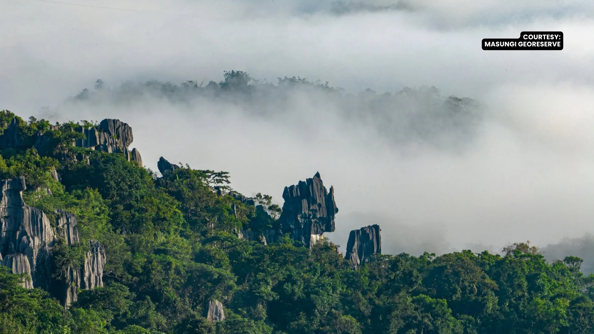
More than 80 percent of the Upper Marikina River Basin Protected Landscape (UMRBPL) in Rizal is classified as highly to very highly susceptible to landslides, according to a 2026 study emphasizing the urgent need for enhanced preventive and conservation measures across the critical watershed.
The study, titled “GIS-Based Landslide Susceptibility Assessment of the UMRBPL, Rizal, Philippines,” utilized the Analytic Hierarchy Process (AHP) to evaluate key environmental and geographical factors. Researchers determined that steep terrain is the single largest driver of instability, with slope accounting for 28.04 percent of the area’s overall landslide susceptibility. Land use and land cover ranked as the second most significant factor at 20.50 percent, closely followed by average annual rainfall at 20.08 percent. The remaining variables examined included soil morphology at 8.46 percent, typhoon frequency at 8.08 percent, distance to fault lineaments at 7.74 percent, and underlying soil geology at 7.10 percent.
According to the assessment’s spatial breakdown, the vast majority of the protected area faces elevated risk. Specifically, 46.39 percent of the UMRBPL is categorized as highly susceptible, 1.80 percent shows very high susceptibility, and 38.05 percent falls under moderate susceptibility. Conversely, only 12.76 percent of the landscape exhibits low susceptibility, while a minimal 1 percent is classified as having very low risk.
Commenting on the study, the Masungi Georeserve Foundation noted that the data translates to roughly eight out of every ten hectares in the watershed facing substantial landslide risk. The foundation highlighted a recent real-world example earlier this month, when a landslide in Baras, Rizal covered approximately 50 meters of the Marilaque Highway and stranded traffic along a four-kilometer stretch of road.
“Landslides remind us that a watershed is more than its rivers. Its forests, slopes, soils, roads, and communities are all connected,” the foundation stated.
Masungi Georeserve also underscored the heavy impact of human activities on the region’s fragile ecology, pointing out that land use decisions drive more than a fifth of the total vulnerability.
“With land use driving over a fifth of the region’s vulnerability, human impact is undeniable,” the foundation added. “Deforestation and altered soils directly influence how violently the landscape reacts to the next typhoon.”