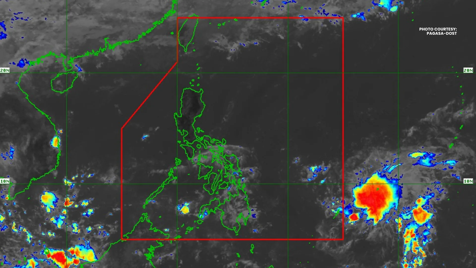
The Philippine Atmospheric, Geophysical and Astronomical Services Administration (PAGASA) said Saturday that Tropical Storm “Hagupit” slightly weakened as it continued moving westward over the northeast of Palau while remaining outside the Philippine Area of Responsibility (PAR).
In Tropical Cyclone Advisory No. 6 issued at 11 a.m., PAGASA said the center of the storm was estimated at around 1,065 kilometers east of Northeastern Mindanao as of 10 a.m.
The state weather bureau said “Hagupit” was carrying maximum sustained winds of 65 kilometers per hour (kph) near the center, with gusts reaching up to 80 kph and a central pressure of 1002 hectopascals. The storm was moving westward at 20 kph.
PAGASA added that strong to gale-force winds associated with the cyclone extend up to 320 kilometers outward from the center.
Forecasters said the tropical storm is expected to move west northwestward for most of the forecast period while remaining over the Philippine Sea and far from the country’s landmass.
However, PAGASA said the system is expected to enter PAR later Saturday, where it will be given the local name “Caloy.”
“In the next 12 hours, Hagupit may maintain its strength as it continues to move over the Philippine Sea until it enters PAR,” PAGASA said.
The agency added that unfavorable environmental conditions could cause the storm to weaken beginning Sunday, May 10. PAGASA said “Hagupit” may weaken into a tropical depression by Sunday and possibly downgrade into a low-pressure area by Monday, May 11.